


NTU wins the 2024 “National Sustainable Development Awards” for exerting influence in higher education
瀏覽器版本過舊,或未開啟 javascript
請更新瀏覽器或啟用 javascript
Spotlights
Date: Aug 8, 2016
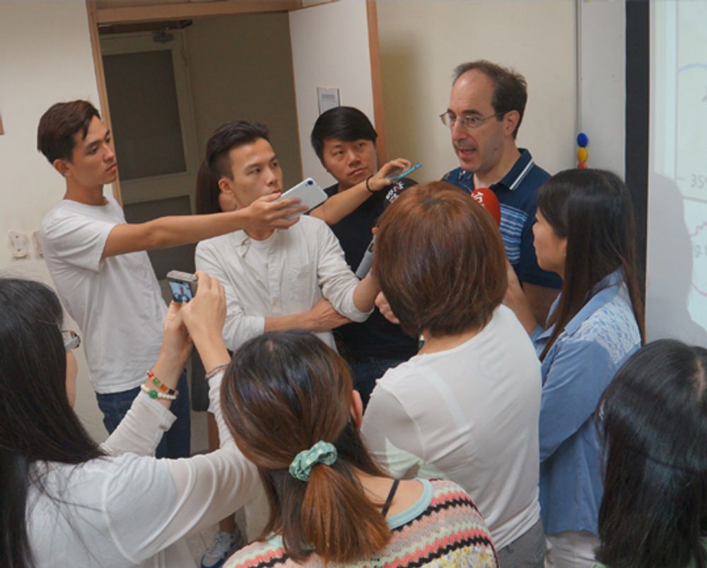
Prof. Cohen answering questions from the press.
Prof. David J. Cohen of the Department of Anthropology recently participated in a study that excavated materials that provide potential archaeological support for the historicity of the old legends of a Great Flood and the founding of China's first dynasty by Emperor Yu (大禹). Their report, "Outburst flood at 1920 BCE supports historicity of China's Great Flood and the Xia dynasty (夏朝)," published in the August 5 issue of Science, captured the attention of anthropologists and news outlets around the world. The study involved a geological survey of the upper reaches of the Yellow River in Qinghai Province (青海省), China, that revealed that an enormous flood had engulfed the Yellow River basin around 1920 BCE. The deluge was estimated to rank among the largest freshwater floods in the world of the last ten millennia.
While undertaking their dig, Prof. Cohen and his colleagues reconstructed a series of natural events that led to the outbreak of the flood. Indications show that a powerful earthquake caused a massive landslide that drove debris into the Yellow River, creating a natural dam. Spanning the river gorge, the dam of debris blocked the river's flow and eventually created a deep lake. Unable to withstand the pressure of the lake water, the dam suddenly gave way, releasing an enormous volume of water that caused catastrophic flooding down the Yellow River basin.
Based on a comparative analysis of the timing, force, and impact of the flood, the team surmises that this natural phenomenon was the historical basis for the tales of the Great Flood and Emperor Yu taming the flood and establishing the Xia dynasty that were handed down in traditional legends about the origins of ancient Chinese civilization.
Twenty-five kilometers downstream from the dam, the village of Lajia (喇家遺址) was destroyed by the earthquake and subsequent landslides which toppled homes, burying the village residents alive. The area was then inundated by the devastating floodwaters. This human tragedy provided the researchers with crucial data that allowed them to determine the timing of the flood. Radiocarbon dating performed on the skeletons of three children buried in the village showed that the children had died in about 1920 BCE.
Furthermore, the team identified fissures caused by the earthquake that remained filled with floodwater sediment. Analysis of the layers of sediment provided an estimate of the river's flow rate and indicated that the flood occurred during the dry season, dating it to within a year after the earthquake.
The river gorge was 1.3 kilometers wide and 249 meters high at the site of the dam. Prof. Cohen and his research partners estimate that, prior to the dam's collapse, the lake had accumulated six to nine months of the Yellow River's flow, reaching a depth of 185 to 210 meters. They estimate that, when the dam finally burst, the enormous volume of water it had held back inundated the downstream basin of the Yellow River and its tributaries for a distance of 2,000 kilometers.
This article was originally featured in NTU Highlights (October 2016).
NTU wins the 2024 “National Sustainable Development Awards” for exerting influence in higher education

Prof. Chih-Kung Lee of NTU’s Institute of Applied Mechanics elected NAI Fellow

NTU Launches Startup Initiatives at Zhubei Campus

2024 NTU-KU-UHH Trilateral Symposium: Uniting for Sustainable Future and Next Generation

Signing Ceremony for the donation of “Next-Generation Smart 3D Geospatial Information Center” at NTU Zhubei Campus
Current Spotlights
NTU wins the 2024 “National Sustainable Development Awards” for exerting influence in higher education
Prof. Chih-Kung Lee of NTU’s Institute of Applied Mechanics elected NAI Fellow
NTU Launches Startup Initiatives at Zhubei Campus
2024 NTU-KU-UHH Trilateral Symposium: Uniting for Sustainable Future and Next Generation
Signing Ceremony for the donation of “Next-Generation Smart 3D Geospatial Information Center” at NTU Zhubei Campus